
State Proposal to Rename Fremont Peak: What Bay Area Residents Need to Know About the Shift to Tooyohtak
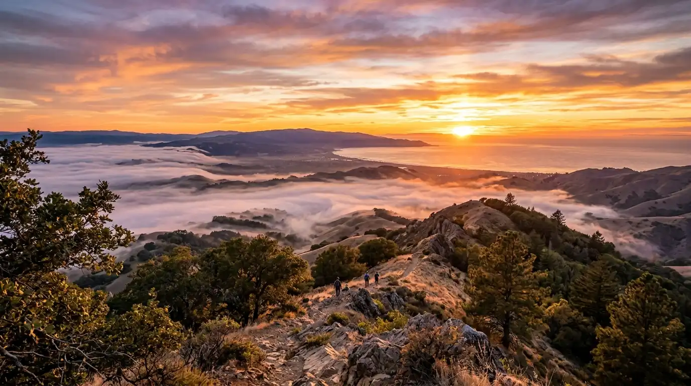
If you have ever hiked to the 3,169-foot summit of Fremont Peak State Park to gaze across the sweeping panoramas of Monterey Bay and the Salinas Valley, you know it is one of Central California’s most cherished natural landmarks. Located in the Gabilan Range between Monterey and San Benito counties, the park serves as a favorite weekend getaway for hikers, stargazers, and outdoor enthusiasts throughout the San Francisco Bay Area. However, a major historical shift is currently underway that could change how this beloved peak is recognized on official maps for generations to come.
On September 23, 2026, California State Parks officially launched a 30-day public comment period on a state proposal to restore the traditional Mutsun placename—Tooyohtak—to Fremont Peak State Park. This move reflects a broader state initiative to honor Indigenous ancestral lands and restore native placenames across California’s public park system. For local residents, outdoor enthusiasts, and community members, here is a complete guide to understanding what the name change means, the rich history behind it, and how it impacts your future visits.
Understanding the Name Change: From Explorer to Ancestral Roots
To understand why the state is proposing this shift, it helps to look at the history behind both names attached to this towering peak.
The park currently bears the surname of John C. Frémont, an American military officer, explorer, and politician who briefly occupied the summit in March 1846 during a tense standoff with Mexican authorities prior to the Mexican-American War. While Frémont played a prominent role in early California statehood history, his historical legacy has faced increasing scrutiny due to his involvement in military actions against Indigenous populations during the 19th century.
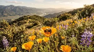
In contrast, the proposed name—Tooyohtak (pronounced too-YOH-tahk)—is a native word from the Mutsun language, an Ohlone language historically spoken by the Amah Mutsun Tribal Band. The word translates directly to “place of the bumblebee” or “bee place.”
For thousands of years prior to European settlement, the Amah Mutsun people lived in close harmony with the coastal mountains, valleys, and chaparral ecosystems of Monterey and San Benito counties. Native bees and pollinators played a critical ecological and cultural role in maintaining the native flora on these peaks. By renaming the park Tooyohtak State Park, state officials and tribal leaders aim to restore an authentic cultural connection that honors the landscape’s deep Indigenous roots.
Part of a Larger Statewide Initiative
The proposal to rename Fremont Peak is not an isolated decision. It is part of the Reexamining Our First Parks Initiative, a statewide effort led by California State Parks in collaboration with California Native American tribes. This initiative actively reviews park names, historical markers, and interpretive materials that may overlook or misrepresent Indigenous heritage.
In recent years, similar initiatives have led to notable name restorations across the state, such as renaming Patrick’s Point State Park to Sue-meg State Park in Northern California. Reclaiming traditional placenames allows state parks to broaden historical education, offer richer cultural interpretation, and build meaningful partnerships with tribal governments.
The Amah Mutsun Tribal Band and the Amah Mutsun Land Trust have worked closely with state officials to advocate for cultural stewardship, ecological restoration, and traditional land management practices within their ancestral territories. Restoring the name Tooyohtak is viewed by many tribal leaders as a vital step toward cultural healing and environmental awareness.
What Does This Mean for Bay Area Visitors and Outdoor Enthusiasts?
If you are planning a trip to the summit, you might be wondering how this proposal affects your access, camping plans, or recreational activities. Here is what local visitors need to know:
- Park Access & Operations Remain Unchanged: The day-use areas, hiking trails, picnic grounds, and 25 campsites remain open and fully accessible under standard state park operating hours (8:00 AM to half an hour after sunset).
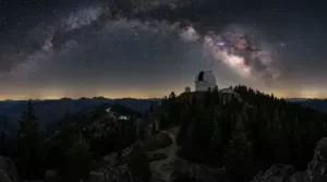
- Stargazing & Astronomical Observatory: Stargazers can continue to enjoy clear night skies. The famous Fremont Peak Observatory—home to a 30-inch telescope operated by the Fremont Peak Observatory Association—will continue running its scheduled astronomical educational programs on select evenings.
- Trailhead Signage & Updates: Should the State Park and Recreation Commission formally adopt the name change, updated signage, park brochures, and digital trail maps will gradually transition to reflect Tooyohtak State Park. However, physical trail routes and landmark directions will remain identical.
How Bay Area Residents Can Participate in the Public Comment Period
Public engagement is a required and essential component of the renaming process. California State Parks is actively soliciting feedback from local residents, tribal members, historians, and frequent park visitors before making a final determination.
The official public feedback window runs through the close of business on October 23, 2026. You can voice your opinion or share your thoughts through the following official channels:
- Via Email: Send your written feedback directly to California State Parks at
feedback.diablorange@parks.ca.govwith the subject line “Fremont Peak Name Change.” - Official State Survey: Complete the public feedback questionnaire directly through the official California State Parks Fremont Peak Portal.
Following the conclusion of the public comment period, California State Parks will summarize community feedback and present a formal recommendation to the State Park and Recreation Commission for a vote later in the year.
Embracing the Future of Central Coast Recreation
Whether you know this breathtaking high point as Fremont Peak or begin calling it Tooyohtak, its dramatic views and ecological beauty remain one of the crown jewels of our region’s state park system. As the Bay Area continues to grow and evolve, opportunities like this allow local communities to reflect on the complex layers of history that shape California’s public lands.
Next time you drive up the winding mountain roads south of San Jose to hike the summit trail, take a moment to look at the blooming wildflowers and native chaparral—and remember the ancient “place of the bumblebee” that stood there long before maps were drawn.